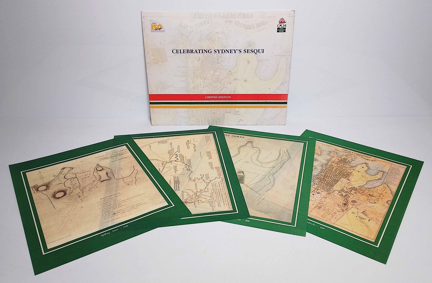
Celebrating Sydney's Sesquicentennial - 4 maps
$43.48
In stock: 1 available
Product details
The "Celebrating Sydney's Sesquicentennial" collection is a presentation envelope containing a set of four facsimile historic maps released to commemorate 150 years of the City of Sydney's incorporation (celebrated across 1991–1992). It features reproductions of key cartographic milestones tracking the city's growth.
Map Contents in the Portfolio
- 1788 Map: The early layout and initial British arrival period.
- 1792 Map: Early colonial settlement expansion.
- 1826 Map: Growth during the early town planning era.
- 1855 Map: Mid-19th century urban development of Sydney.
Presentation folder is open and torn at top - maps are all in perfect condition.
Celebrating Sydney's Sesquicentennial - 4 maps
Display prices in:NZD
