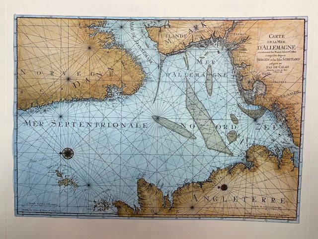
Carte de la Mer d'Allemagne - 1693
$56.52
In stock: 1 available
Product details
Overview
Modern print of the famous historical map "Carte de la Mer d'Allemagne" (the historical French name for the North Sea).
Product Details
- Dimensions: 42cm x 34cm
- Material: Printed on heavyweight matte art paper
- Provenance: This copy was purchased in Germany in 1975
Historical Significance
This magnificent 1693 sea chart was created by Alexis Hubert Jaillot and Romain de Hooghe. It was published in Amsterdam by Pierre Mortier for the Le Neptune François atlas.
The map beautifully details the North Sea, bordered by the coasts of:
- Great Britain
- Norway
- Denmark
- Germany
- The Netherlands
Carte de la Mer d'Allemagne - 1693
Display prices in:NZD
