Caribbean Wall Map · Nat Geo
$60
Sold out
Price incl. GST (15%) $7.83
Finish
Please choose
Sold out
Product details
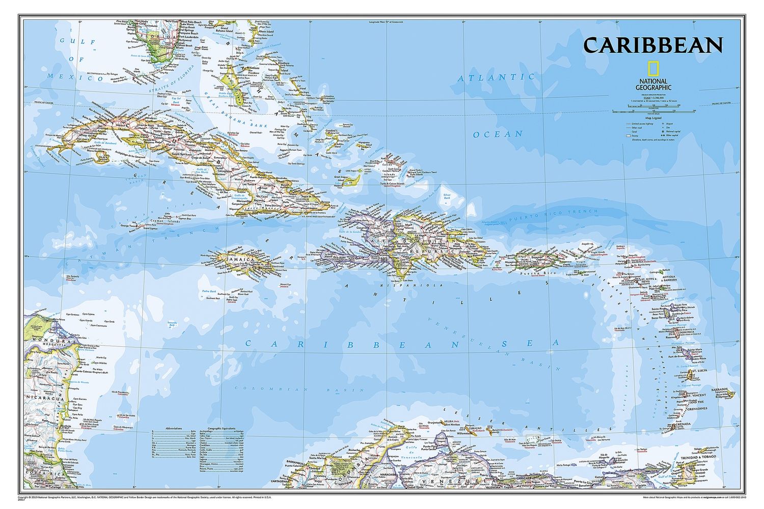
One of the most authoritative maps for the islands of the Caribbean Sea, this map provides exceptional detail and coverage.
Key Features:
- Extensive Coverage:
The map stretches from the tip of Florida to the northern extents of Colombia and Venezuela, east to Barbados, and west to the eastern edge of Honduras, Costa Rica, and Nicaragua. - Detailed Bathymetry:
Discover the remarkable seafloor variation of the Caribbean, including the Puerto Rico Trench, the deepest point in the Atlantic Ocean at 8,605 meters (28,232 feet). - Over 1,000 Named Places:
Includes country capitals, primary and secondary towns, political boundaries, important infrastructure, and all key landforms.
Informative and Educational:
- Historical and Geographical Notes:
Gain further understanding of the Caribbean's unique attributes through useful and informative notes about the region's history and geography, thoughtfully spread throughout the map.
Specifications:
- Flat Size: 91.4 cm x 61 cm (36" x 24")
This map is a perfect blend of detailed cartography and educational insights, making it an invaluable resource for anyone interested in the Caribbean region.
Caribbean Wall Map · Nat Geo
Display prices in:NZD
