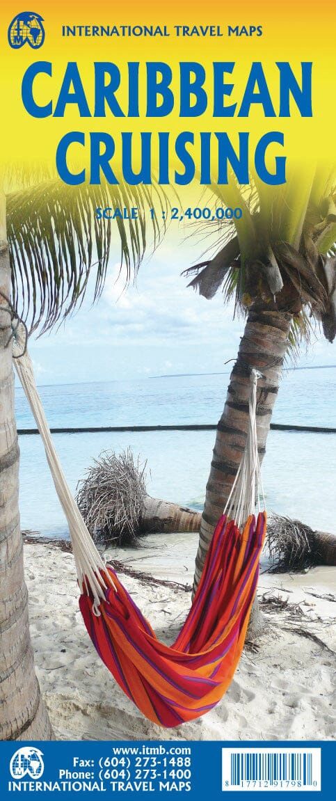
Caribbean Cruising | ITMB 2023
$28
Price incl. GST (15%) $3.65
In stock: 2 available
Product Details
Brand: ITMB
The Caribbean Sea is one of the most popular cruise destinations in the world.
Map Coverage and Details
This colorful double-sided map offers comprehensive coverage, starting just north of Orlando/Tampa to include the northernmost and southernmost Bahamian islands. It extends all the way to the Panama Canal at Colon and the coast of Venezuela. Key features include:
- Detailed representation of each island.
- Clear depiction of the legal boundaries of each island nation.
Front Side: Western Caribbean
Focuses on the Western Caribbean, showcasing areas such as:
- The Bahamas
- Cuba
- Jamaica
- Cayman Islands
Back Side: Eastern Caribbean
Highlights the Eastern Caribbean islands and beyond:
- Hispaniola (Haiti and the Dominican Republic)
- Puerto Rico
- U.S. and British Virgin Islands
- Turks & Caicos
- The Lesser Antilles chain, including:
- Antigua
- Guadeloupe
- Barbados
- Trinidad and Tobago
- Extends westward along the Venezuelan coast to include the Dutch possessions:
- Aruba
- Bonaire
- Curaçao
Legend Includes:
- Roads by classification
- Rivers and lakes
- National parks
- Airports
- Points of interest
- Highways and major roads
- Zoos
- Fishing spots
This map is a vibrant and detailed tool for exploring the Caribbean, making it an ideal companion for travelers and cruise enthusiasts alike.
Save this product for later
Caribbean Cruising | ITMB 2023
Display prices in:NZD
