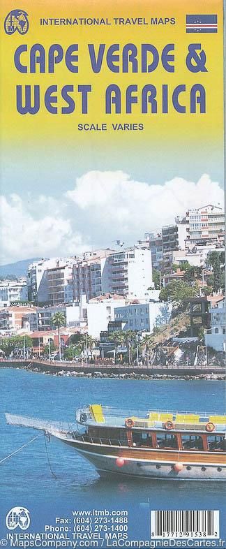
Cape Verde & West Africa | ITMB 2015
$28
Price incl. GST (15%) $3.65
In stock: 1 available
Product Details
Brand: ITMB
Capo Verde, formally known as a country, consists of nine major islands and dozens of small islets off the coast of West Africa, in the area known as the Cape Verde Archipelago. The country, a former Portuguese colonial entity, has been independent for forty years.
Key Highlights:
- Strategic location: Due to its position, Cape Verde has become a significant supply station for ships and aircraft flying the London-Cape Town route (although less so now, as newer planes can fly nonstop).
- Tourism: Tourism is a growing part of the economy, supported by a wealth of pristine beaches.
- Largest island and capital: Santiago is the largest island, and Praia, the capital, is featured with an inset map included.
Additional Features:
This version of the map benefits from having a detailed map of West Africa on the reverse side. While most communications with Cape Verde occur by air from Europe, this map offers illustrative purposes rather than practical use from the islands.
The map is highly detailed and covers the region from central Mauritania east to western Niger.
Save this product for later
Cape Verde & West Africa | ITMB 2015
Display prices in:NZD
