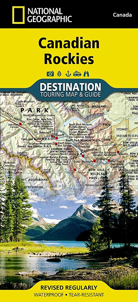
Canadian Rockies Map · Nat Geo
$30.43
Sold out
Sold out
Product details
• Waterproof • Tear-Resistant • Travel Map
National Geographic's Canadian Rockies Destination Map strikes the perfect balance between map and guidebook, making it an ideal resource for exploring this culturally and geographically unique region. Canada's share of the Rocky Mountains spans approximately 100 miles across (160 kilometers) and stretches from Waterton Lakes National Park on the Alberta-Montana border to the northwest towards the Yukon territory.
Front Side: Southern Canadian Rockies Map
The front side of the map highlights the Alberta-British Columbia border region in the southern half of the Rockies, renowned for its stunning and accessible parks. Key features include:
- National Parks: Jasper, Banff, Yoho, Glacier, and Kootenay.
- Comprehensive Road Network: Including the Trans-Canada Highway and Icefields Parkway.
- Additional Features: Indian reserves, provincial parks, protected and natural areas, wilderness, and recreation areas.
- Photographic Highlights:
- Fairmont Chateau Lake Louise
- Athabasca Glacier
- Natural Bridge
- Cave and Basin Natural Historic Site
Reverse Side: Travel Information & Resources
The reverse side provides invaluable content for travelers, including:
- National Parks Information: Details on Banff, Glacier, Jasper, Kootenay, Mount Revelstoke, Waterton Lakes, and Yoho National Parks.
- Visitor Resources:
- Airports, buses, and shuttles
- Railways and parks
- Camping services
- Additional Insights:
- Weather, geology, wildlife, and history
- Cultural highlights
- Outdoor recreation opportunities, such as hiking, climbing, and winter sports
Built to Last
Every Destination Map is printed on durable synthetic paper, making it waterproof, tear-resistant, and tough — ready to withstand the rigors of any kind of travel.
Canadian Rockies Map · Nat Geo
Display prices in:NZD
