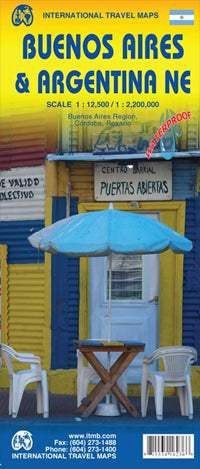
Buenos Aires & Argentina NE | ITMB 2013
$17.39
In stock: 1 available
Product details
A double-sided road map of Buenos Aires and Northeast Argentina designed to help you plan your trip, prepare your itinerary, and travel independently in this captivating part of the country.
Side 1: Detailed Map of Buenos Aires
- A comprehensive street map of Buenos Aires.
- Includes inset maps of:
- Subway lines.
- Greater Buenos Aires.
- A place names index.
- Covers key areas such as:
- Downtown Buenos Aires.
- Jorge Newbery Airport.
- Ciudad Universitaria.
- The central station.
Touristic information featured on the map includes:
- Places of interest.
- Museums.
- Religious buildings.
- Parks.
- Cinemas.
- Hospitals.
- Post-offices.
- Malls.
- Police stations.
Side 2: Map of Northern Argentina
- Displays Northern Argentina, stretching from Buenos Aires in the south to the borders of Paraguay and Bolivia.
Buenos Aires & Argentina NE | ITMB 2013
Display prices in:NZD
