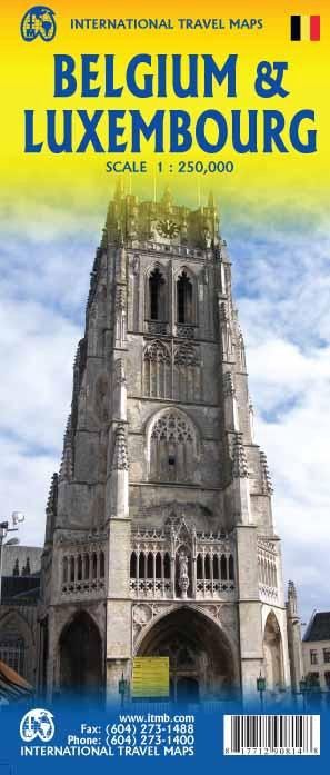
Belgium & Luxembourg | ITMB 2016
$28
Price incl. GST (15%) $3.65
In stock: 2 available
Product Details
Brand: ITMB
Belgium consists of two nation-states: the Belge (speaking French) and the Flems (speaking Flemish). The two nations co-exist without particularly liking each other, but both agree that Belgium is one of the nicest countries in Europe.
Luxembourg is included on this map simply because it is nestled into a corner of Belgium, and the map would look funny if it were omitted. The Lux (I’ll bet no one calls them that!) are much more French in their speech and customs.
Highlights of Belgium:
- Marvelous historic sites, such as:
- The central market square of Brussels.
- The historic university town of Leuven.
- The grand cathedral at Liege (called, with typical European craziness, Luttich ten kilometers to the east and Luik ten kilometers to the west).
Map Features:
The map is divided into two halves:
- West half: Covers the area from the coast to Leuven and Breda, south to Charleroi.
- East half: Covers Brussels to Aachen and Eindhoven, south to the French border with Luxembourg.
Despite the small size of the entities being mapped, the map provides:
- Extensive road information.
- Town names, parks, and camping areas.
- Even some hotels outside major urban areas.
- Places of touristic interest.
About Luxembourg and the Ardennes:
Luxembourg is more hilly, and the Ardennes are a treat to drive through. Additionally, Bastogne has a major museum dedicated to the WW2 Battle of the Bulge.
Save this product for later
Belgium & Luxembourg | ITMB 2016
Display prices in:NZD
