Balkans Wall Map · Nat Geo
$60
Sold out
Price incl. GST (15%) $7.83
Finish
Please choose
Sold out
Product details
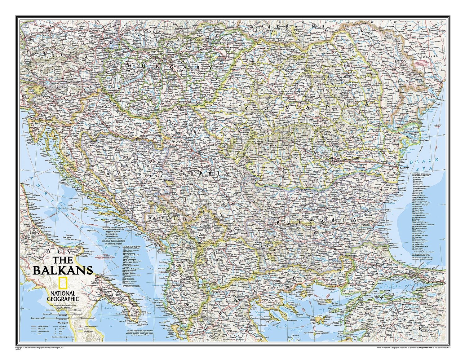
The Countries of the Balkans wall map offers an extensive and detailed view of the region, featuring:
- Thousands of place-names, political boundaries, and national parks.
- Major infrastructure networks, including roads, canals, ferry routes, and railroads.
- The region's diverse terrain, depicted through shaded relief, coastal bathymetry, and symbols for water features and other landforms.
- Elevations of major peaks and depth soundings, expressed in meters.
This map is designed in National Geographic's signature Classic style, utilizing a bright, easy-to-read color palette with blue oceans and stunning shaded relief that has been a hallmark of National Geographic wall maps for over 75 years.
Coverage
The map includes the following countries:
- Main countries: Albania, Austria, Bosnia and Herzegovina, Bulgaria, Croatia, Hungary, Kosovo, Macedonia, Moldova, Montenegro, Romania, and Slovenia.
- Outlying border countries: Greece, Italy, Slovakia, Serbia, Turkey, and Ukraine.
Additional Features
- Listings for the counties of Hungary and Romania, along with their respective capitals.
- Administrative divisions of Bosnia and Herzegovina.
Dimensions
- Flat Size: 76.8 cm x 59.7 cm
Balkans Wall Map · Nat Geo
Display prices in:NZD
