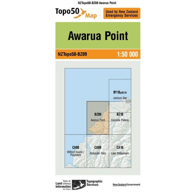
Awarua Point (50)
$7.90
Price incl. GST (15%) $1.03
Size
Please choose
In stock: 2 available
Product Details
Brand: Topo50
Topo50 is the official topographic map series used by New Zealand emergency services. Topographic maps are detailed, accurate graphic representations of features that appear on the Earth's surface.
The Topo50 map series provides topographic mapping for the New Zealand mainland and Chatham Islands at 1:50,000 scale which shoes geographic features in detail and are useful for a wide range of adventures.
Save this product for later
Awarua Point (50)
Display prices in:NZD
