Athens & Peloponnese Map · ITMB
$28
Sold out
Price incl. GST (15%) $3.65
Sold out
Product details
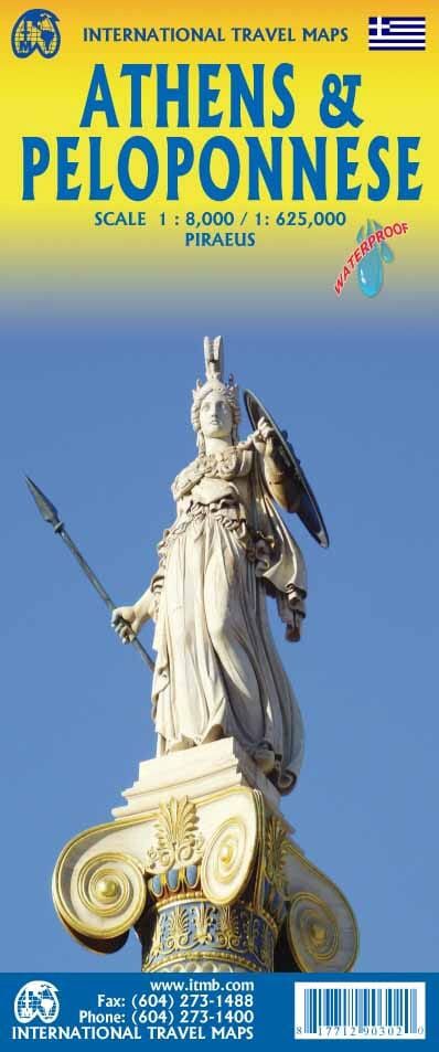
Athens and Peloponnese Travel Map by ITM
Explore Athens and the Peloponnese region with this expertly crafted travel map, perfect for adventurers and travelers alike.
Front Features:
- Detailed Map of Piraeus: Includes the neighboring port city with its numerous terminals for ferries to various Greek islands.
- Regional Public Transportation Map: Navigate with ease using the included transit map.
Back Features:
- Peloponnese Peninsula: Covers the area west of Athens, home to iconic locations such as Mount Olympus, Sparta, and other legendary ancient city-states.
- Nearby Greek Islands: Highlights islands such as Andros, Chios, Paros, Naxos, Samos, Zakynthos, and Kefalonia, all relatively close to Athens.
Legend Includes:
- Roads by classification
- Rivers and lakes
- National parks
- Airports
- Points of interest
- Highways and major roads
- Zoos, fishing spots, and more
Key Benefits:
- Waterproof and Tear-Resistant: Durable for all your travel adventures.
- Scale: 1/8,000 (1 cm = 80 m) & 1/625,000 (1 cm = 6.25 km).
This map is an essential companion for exploring the historic and picturesque regions of Athens and the Peloponnese!
2023Athens & Peloponnese Map · ITMB
Display prices in:NZD
