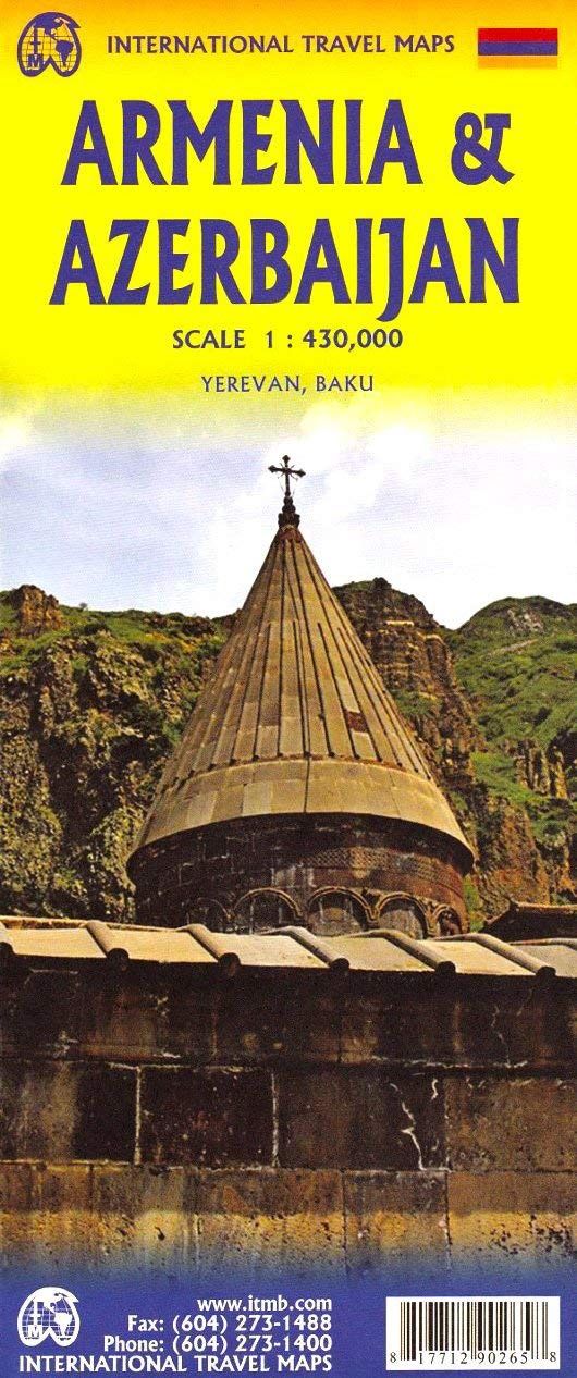
Armenia & Azerbaijan | ITMB 2025
$28
Price incl. GST (15%) $3.65
In stock: 1 available
Product Details
Brand: ITMB
It is unfortunate that these two neighbouring countries dislike each other so much, because both are lovely countries to visit. Due to the way the two became separate political entities, both have enclaves surrounded by the other, and it is impossible to map one without mapping both.
Unless one wipes out roads leading through the other's territory, resuming the roads and towns once it returns to the politically correct entity, the two have to be mapped as one and visited as one. Internally:
- The Armenians tend to inhabit the western third and portions of the centre.
- The Azeri occupy most of the rest of the area.
- Enclaves of Avars, Lezgins, Cachuri, and Talys exist in specific areas.
Challenges in Mapping
A second problem with mapping the two countries is that each insists that roads that used to be main transportation conduits were severed during the nationalistic creation of both entities. However, both sides insist that these non-usable roads are still the main, or national, highways.
- Which ones are open?
- Which ones have new by-pass routes?
- Which are closed?
This is exceptionally difficult to record. We have done our best, and in our opinion, our map is more realistic than others on the market.
Features of the Map
Of course, the map shows:
- Points of interest
- Museums
- Churches of note
- Historic sites
- Airports
Detailed inset maps of Yerevan (capital of Armenia) and Baku (Azerbaijan) are included.
Save this product for later
Armenia & Azerbaijan | ITMB 2025
Display prices in:NZD
