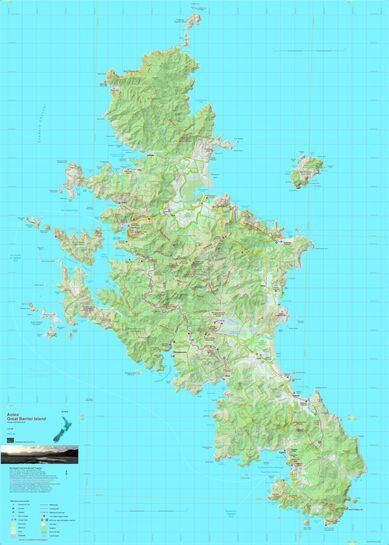
Aotea Great Barrier Island (NEWTP)
$26.90
Sold out
Price incl. GST (15%) $3.51
Size
Please choose
Sold out
Product Details
Brand: NewTopo
This map portrays the walking track network on Great Barrier Island (Aotea) on a fully detailed topographic background. The few roads and settlements are also shown. The combination of contours and relief shading, gives a realistic land form.
This new edition shows the DOC reserve boundaries and updated tracks.
Save this product for later
Aotea Great Barrier Island (NEWTP)
Display prices in:NZD
