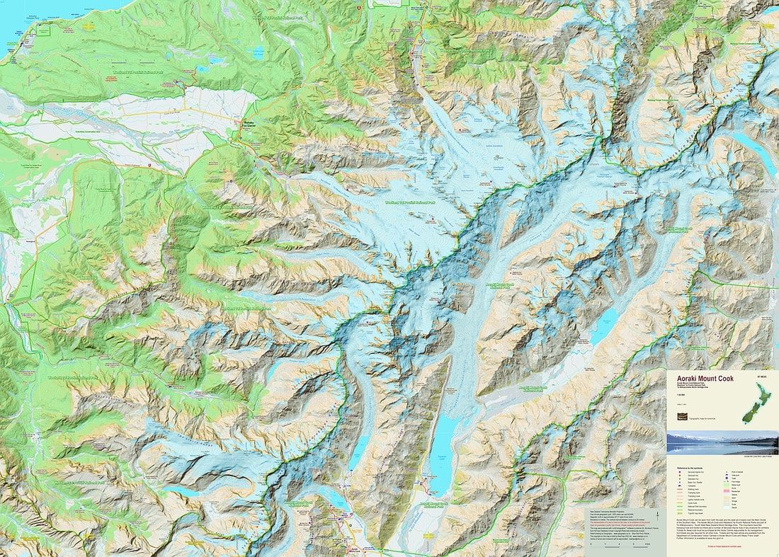
Aoraki Mount Cook (NEWTP)
$26.90
Price incl. GST (15%) $3.51
Size
Please choose
In stock: 2 available
Product Details
Brand: NewTopo
The iconic Mount Cook area is the highest part of the Southern Alps. The map covers all the major features including the Copeland Valley and Pass, and the Fox and Franz Josef Glaciers west of the Main Divide. The map shows large parts of the Mount Cook and Westland National Parks and their boundaries.
Save this product for later
Aoraki Mount Cook (NEWTP)
Display prices in:NZD
