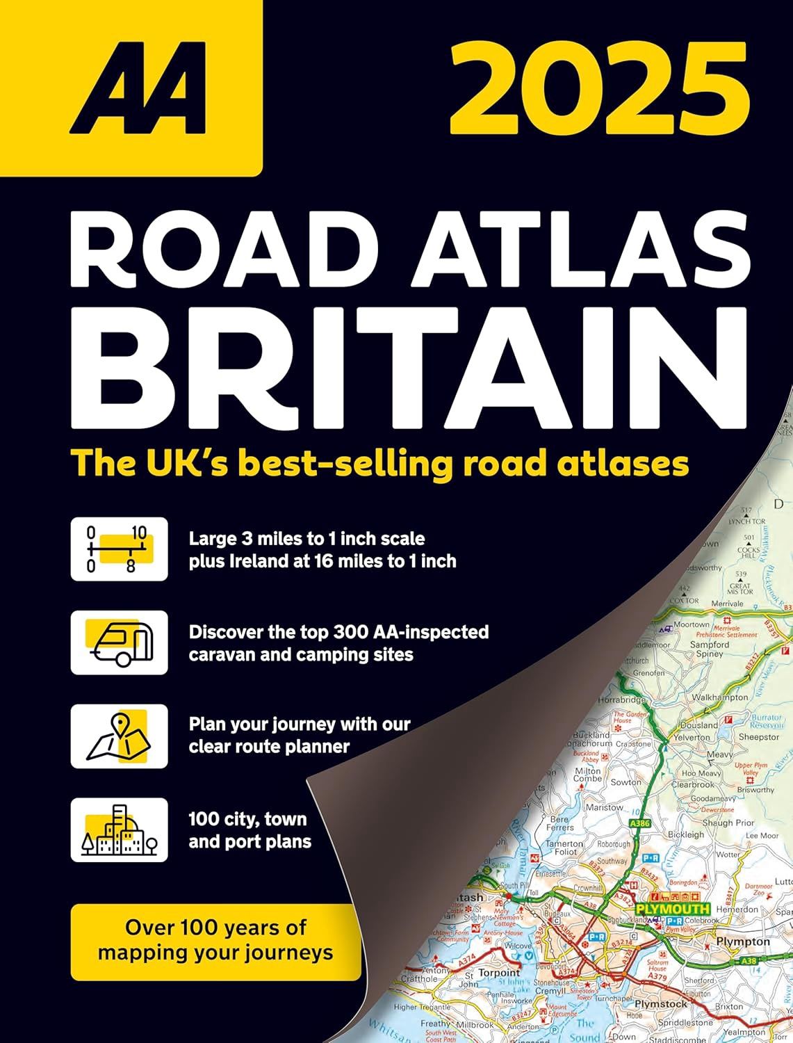
AA Road Atlas Britain | AA
$65
Price incl. GST (15%) $8.48
In stock: 2 available
Product Details
Brand: AA
This top-selling A4 road atlas offers Britain’s clearest mapping at a large 3.2 miles to 1 inch scale, ensuring easy navigation and readability.
Key Features:
- Geographical Titles: Each page is titled with its geographical location for quick reference.
- Detailed Mapping:
- Wide and narrow minor roads are clearly marked.
- Includes National Trust, English and World Heritage sites, and hard-to-find places.
- City, Town, and Transport Plans:
- 112 city, town, port, and airport plans.
- 10 pages of central London street mapping with an index.
- Comprehensive Index:
- A 31,500-entry index listing airports, top tourist sites, and motorway services.
- Route Planning:
- A 6-page clear Route Planner map.
- Scenic routes, golf courses, and caravan and camping sites symbolised on the mapping.
Additional Highlights:
- Full-Colour Maps:
- Includes country, unitary, and administrative area maps.
- Essential Motoring Content:
- Motorway maps and ferry planning information.
- 5 district maps for thorough coverage.
Whether you're exploring scenic routes or planning a trip to the top tourist destinations, this atlas is packed with all the essential tools for traveling across Britain.
Save this product for later
AA Road Atlas Britain | AA
Display prices in:NZD
