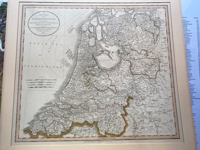
"A New Map of the United Provinces" 1799 John Cary
$608.70
In stock: 1 available
Product details
"A New Map of the United Provinces"
This is a highly detailed historical atlas map created in 1799 by the prominent British cartographer and engraver John Cary. It captures the changing geography of the Netherlands at the turn of the 19th century during the tumultuous era of the French Revolutionary Wars.
Key Details of Cary's 1799 Map
-
Full Title: "A New Map of the United Provinces, comprehending Holland, Zealand, Utrecht, Gelders, Over Yssel, Friesland and Groningen; with the Lands of Drent, Dutch Flanders, & Dutch Brabant &c &c from the Latest Authorities."
-
Publisher & Location: Published on 1 August 1799 in London at Cary’s shop at No. 181, Strand. It was later included in his highly acclaimed New Universal Atlas.
-
Visual Style: Known for its high precision, clean line work, and exquisite hand-colouring to delineate provincial boundaries.
-
Maritime Details: Notably depicts coastal sandbars in the North Sea, such as the massive "Broad Fourteen" (Breedsaddels) sandbank.
"A New Map of the United Provinces" 1799 John Cary
Display prices in:NZD
