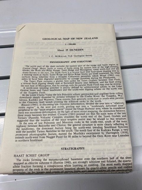
1st Edition Geological map of New Zealand Sheet 25 Dunedin
$15
Price incl. GST (15%) $1.96
In stock: 1 available
Product details
Note - no cover
The Geological Map of New Zealand 1:250,000 Sheet 25 Dunedin (1st Edition) is **a historic scientific chart published by the Department of Scientific and Industrial Research (DSIR) and compiled by the New Zealand Geological Survey. [1]
Originally issued as part of a 28-sheet nationwide series between 1959 and 1973, this map was reviewed and detailed around 1967. It represents the foundational large-scale regional geological mapping of the Dunedin and broader Otago coastal environment.
Core Technical Details
- Scale: 1:250,000
- Publishing Agency: Department of Scientific and Industrial Research (DSIR) / New Zealand Geological Survey
- Format: Multi-colour lithograph sheet (typically measuring around 69 x 93 cm) folded into standard research portfolios.
- Coverage: Captures the complex volcanic geology of the Dunedin area (the Miocene Dunedin Volcanic Complex), coastal Otago, and surrounding structural networks.
1st Edition Geological map of New Zealand Sheet 25 Dunedin
Display prices in:NZD
