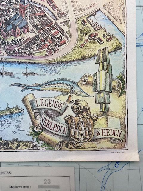
1972 Map of Kampen - FredJulsing
$70
Price incl. GST (15%) $9.13
In stock: 1 available
Product details
Discover the Historical Bird's-Eye View Map of Kampen
This historical bird's-eye view city map of Kampen, Netherlands was illustrated by the renowned Dutch cartoonist and artist, Fred Julsing. A masterpiece of its time, the map was commissioned and published by the municipal government of Kampen (gemeentebestuur van Kampen) in 1972.
Key Details of the Map:
-
Title/Subject: Kampen, stad en gemeente aan de boorden van de IJssel (Kampen, city and municipality on the banks of the IJssel).
-
Style: A detailed, artistic bird's-eye view map (stadsplattegrond in vogelvlucht) featuring a decorative cartouche.
-
Historical Context:
- Fred Julsing (1942–2005) was celebrated for his intricate and highly detailed drawing style during this era.
- The map was created as a cultural heritage and promotional piece for the municipality.
- It is now preserved in Dutch regional archives, such as the Historisch Centrum Overijssel.
-
Map Size and Quality:
- Dimensions: 63cm x 44cm
- Printed on heavy-duty art paper.
- The map is in excellent condition.
This artistic representation of Kampen is not just a map but a piece of history, capturing the beauty and essence of the city in a unique and detailed style.
1972 Map of Kampen - FredJulsing
Display prices in:NZD
