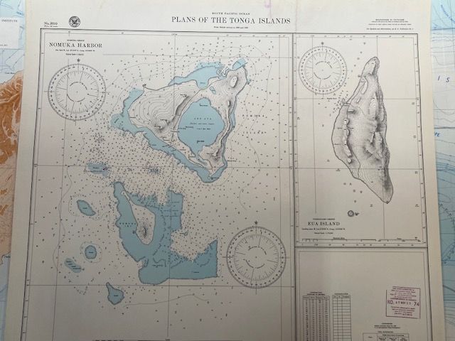
1944 South Pacific Ocean: Plans of the Tonga Islands
$150
Price incl. GST (15%) $19.57
In stock: 1 available
Product details
Vintage Historical Nautical Chart
"South Pacific Ocean: Plans of the Tonga Islands" (Chart Number 2010), 1944 edition.
Chart size - 73cm x 67cm
Laminated
Chart Details & Context
-
Chart Number: 2010
Often published by the British Admiralty Hydrographic Department or reproduced by the United States Hydrographic Office for wartime naval navigation. -
Edition Date: 1944
Updated during World War II to support Allied naval operations in the Pacific theater. -
Content:
This specific hydrographic chart typically consists of detailed sub-plans for island anchorages, harbors, and islands within the Tongan archipelago. Historically, the chart has included detailed topographic and bathymetric surveys of areas such as:- Tongatapu and the Nukuʻalofa anchorage
- ʻEua Island
- Namuka (Nomuka) Harbour
- Falcon Island (an active volcanic island)
1944 South Pacific Ocean: Plans of the Tonga Islands
Display prices in:NZD
