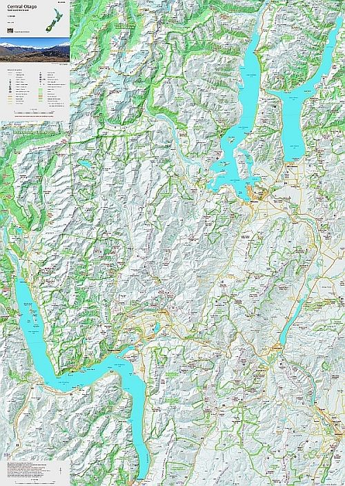
Central Otago
- Scale: 1:150,000
- Size: 600 x 840 mm
- Folded: $26.90
- Flat: $59.90
- Laminated $99.90
This small scale map shows the heart of Central Otago, overlaps the new Te Anau map to the west, and provides a useful over-view for planning. The public huts and tracks are complemented by the locations of historic places in the early settlement and development of the area. The boundaries of Aspiring National Park and other reserves are also shown.
The map overlaps larger scale NewTopo maps in the north and west: The Wilkin Valley, Rees-Dart Track, Five Passes Wilderness, and Routeburn Greenstone, and Caples Tracks maps.
This map is Edition 2, 2025