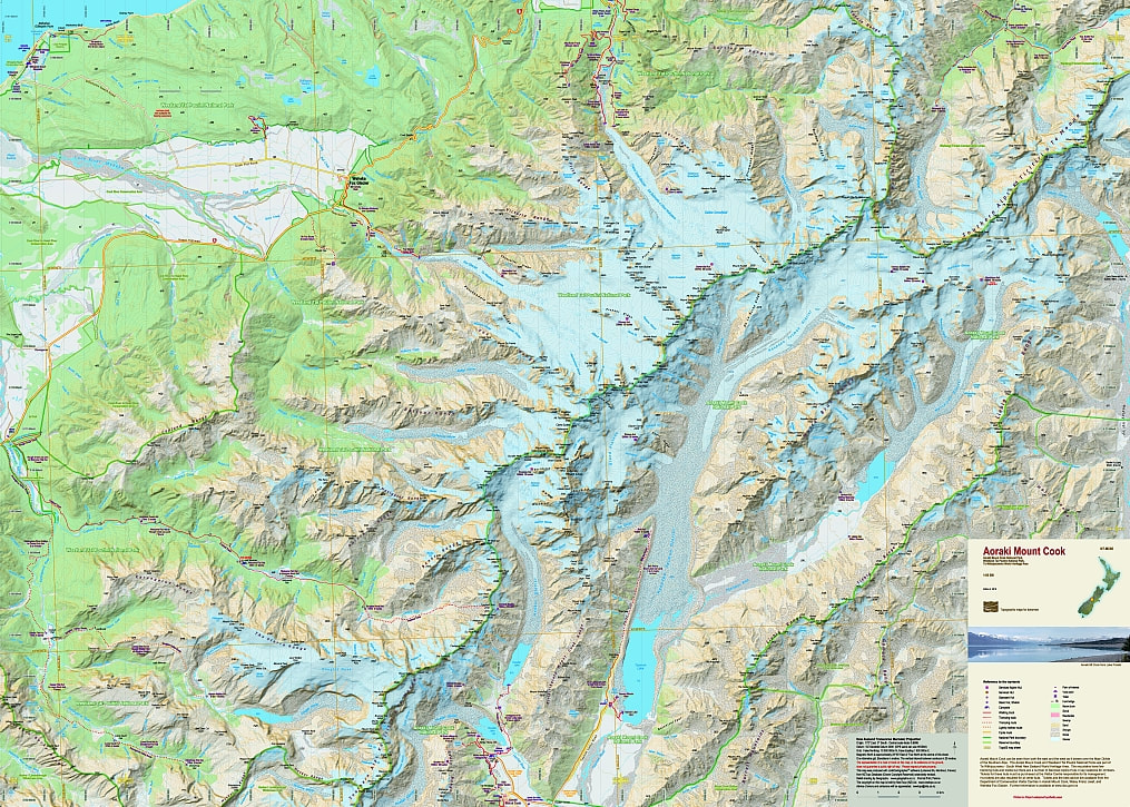
Aoraki Mt Cook
- Scale: 1:65,000
- Size: 840 x 630 mm
- Folded: $26.90
This new edition shows the National Park boundaries as well as the boundaries ofĀother reserves.
Note:Ā The height of Aoraki Mt Cook has been recalculated to 3724m.
Aoraki Mt Cook
This new edition shows the National Park boundaries as well as the boundaries ofĀother reserves. Note:Ā The height of Aoraki Mt Cook has been recalculated to 3724m. |